The whole trail on one map
All segments from Dan to Eilat, with search for places along the way. Walk it north to south or south to north.
Free for Android and iOS
Every segment from Dan to Eilat, with campsites, water points and Trail Angels on one map that keeps working when the reception does not.


Available in English, Hebrew and ten more languages. No ads, no in‑app purchases.

What you get
Built around the way people actually walk the trail: one segment at a time, with a night to plan for.
All segments from Dan to Eilat, with search for places along the way. Walk it north to south or south to north.
Download the map once and keep navigating in the wadis and the desert where there is no signal.
Distance, elevation graph, photos, weather forecast and the difficulty other hikers gave it.
Mark segments as done and see how many kilometres you have already walked.
Community‑maintained points with votes and comments. Found a new campsite or tap? Share it with everyone.
Find hosts along the trail, see what they offer, send a booking request and chat with them in the app.
Measure distances with elevation gain, open Street View on the trail, follow the compass and save your own personal points.
A closer look
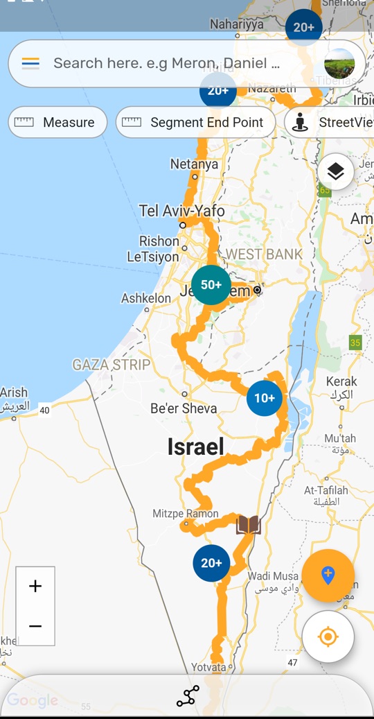
The full trail with campsites, water points and Angels
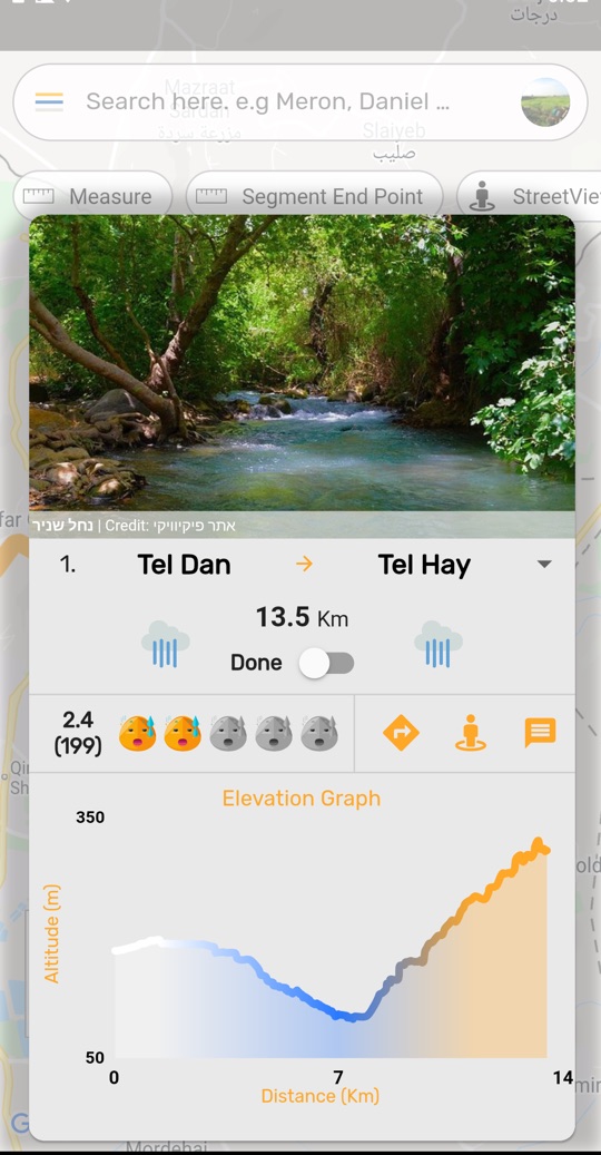
Segment details with weather, difficulty and elevation graph
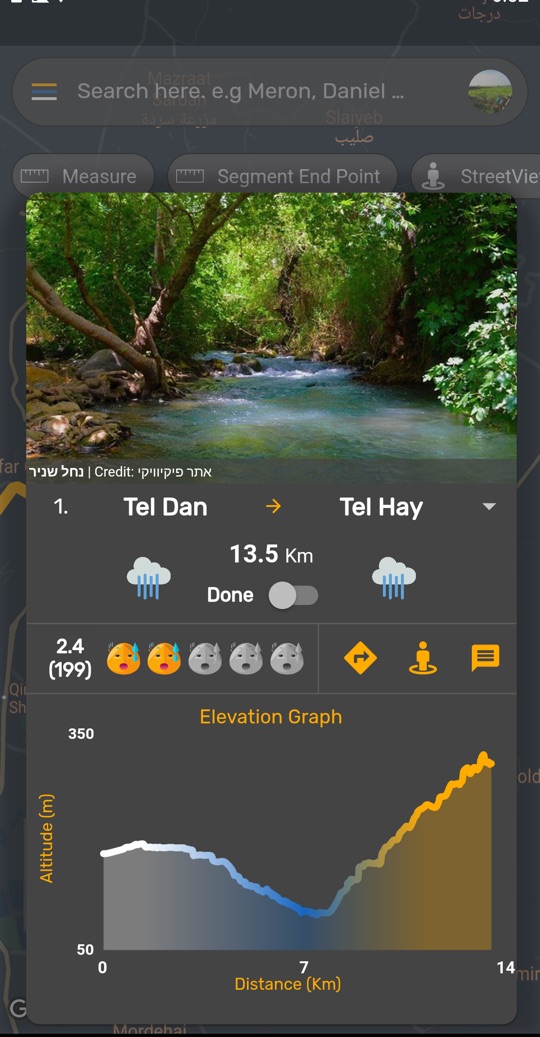
Dark theme for early starts and late camps
Trail Angels
Trail Angels are one of the things that make this trail special. The app makes hosting and being hosted simple and respectful of everyone's time.
Good to know
Yes. Download the offline map from the app (it is a large file, so use Wi‑Fi). The map, the trail line and your position all work offline. Chats, bookings and other community features need a connection.
Nothing. The app is free, with no ads and no in‑app purchases.
Not for browsing the trail. Sign in with Google or Apple when you want to chat, rank segments, share points or book Angels.
English, Hebrew and German are fully translated. Spanish, French, Russian, Arabic, Portuguese, Italian, Chinese, Japanese and Dutch are also available.
In the app: open the menu, choose Sign Out and tick “Delete all my data”. Your profile, bookings, personal points and account are removed. Details are in the privacy policy.
Download the app and take the whole trail with you.